VDC team

What is VDC
Virtual design & construction

PLAN

Build the plan before you build the project.

Use BIM, schedules, production planning, and project data to define what needs to happen, when, where, and by whom before work begins.

VISUALIZE

Make the plan visible to everyone.

Make the plan visible to everyone. Use 3D models, 4D simulations, logistics plans, and visual management tools to make sequence, space, constraints, and workflows easier to understand and communicate.

OPTIMIZE

Solve problems before they reach the field.
Identify coordination issues, constraints, logistics conflicts, safety risks, and workflow inefficiencies early—improving predictability, productivity, and project performance.

EARLY CLASH RESOLUTION

PREDICTABLE LOGISTICS

OPTIMIZED WORK SEQUENCE

REDUCED REWORK & WAITING

BETTER FIELD DECISIONS

VDC resources:

open-book

Takt Guide

Podcast

Youtube

Books

Our VDC Services

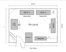
Trailer Setup

Designing purpose-built field office layouts to improve collaboration, communication, visual management, and operational flow.

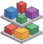
Zoning Strategy

Developing data-driven zoning plans that align work areas, crews, logistics, and production planning across multiple levels and phases.

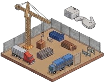
3D Logistics

Creating detailed 3D logistics models to visualize access, material flow, laydown areas, cranes, equipment, and site constraints.

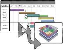
4D PRODUCTION PLAN

Linking the construction schedule to the 3D model to visualize sequence, identify constraints, and communicate the production plan.

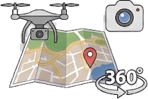
Drone & 360 Camera

Using periodic drone flights and 360° site walks to improve visibility, document progress, and support informed decision-making.

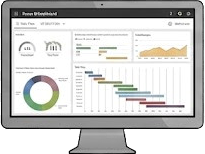
PBI Dashboard for inTakt

Connecting production plans with data dashboards to track progress, constraints, performance, and key project metrics.

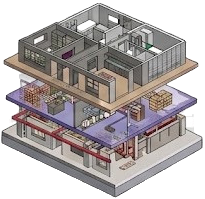
BIM Modeling

Developing coordinated Revit models across Architecture, Structure, and MEP to support design coordination, planning, and construction.

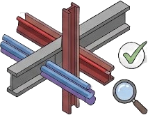
Model Coordination

Coordinating multidisciplinary models to identify clashes, constructability issues, and coordination constraints before they reach the field.

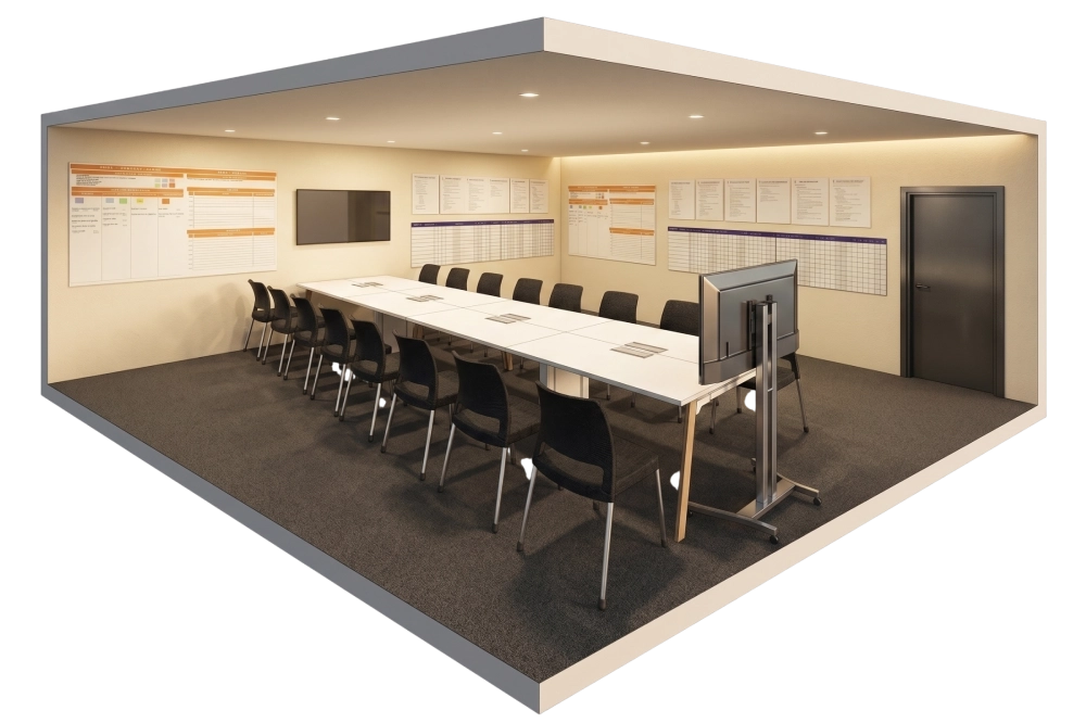
OPTIMIZING FIELD OFFICES - TRAILER SETUP

Purpose-built field office environments designed to improve collaboration, visual management, communication, and operational flow on site.

STRATEGIC TRAILER LAYOUTS

Designing optimized double-wide field office configurations based on personnel flow, team functions, meeting requirements, and operational needs.
Creating dedicated spaces for Discuss & Solve sessions, team-focused work, planning, and visual management.

VISUAL MANAGEMENT

Integrating Pull Planning boards, production plans, meeting agendas, TV displays, and project information to keep teams aligned and focused.

OPERATIONAL IMPACT

Better Collaboration

Improved Visibility

Faster Problem Solving

More Efficient Use of Space

The Resources

Takt Guide
Set-Up & Operations
Best Practices
Field Office Set-Up
Trailer Setup
Layout

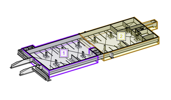
ZONING STRATEGY

Visualizing project zones to improve logistics, safety, production flow, and operational clarity across complex projects.

VISUALIZING PROJECT ZONES

Developing logical, multi-story zoning plans that organize work areas by phase, trade, crew, and production requirements.
Color-coded zones make work areas easier to understand, coordinate, and communicate across stacked floor levels.

MULTI-LEVEL CLARITY

Understand the entire project across all levels.

COLOR-CODED ZONES

Easily identify work areas by trade, phase and crew.

Safety and Efficiency

Reduce risks and improve access and circulation

Production plan ready

Align zones with the schedule for better coordination and planning

INTEGRATED ZONING DATA

We combine project data and spatial context to support better logistics decisions, resource planning, and production planning.

DATA-INFORMED

Use project data and site context to support better planning.

BETTER DECISIONS

Make informed logistics and production decisions with clarity.

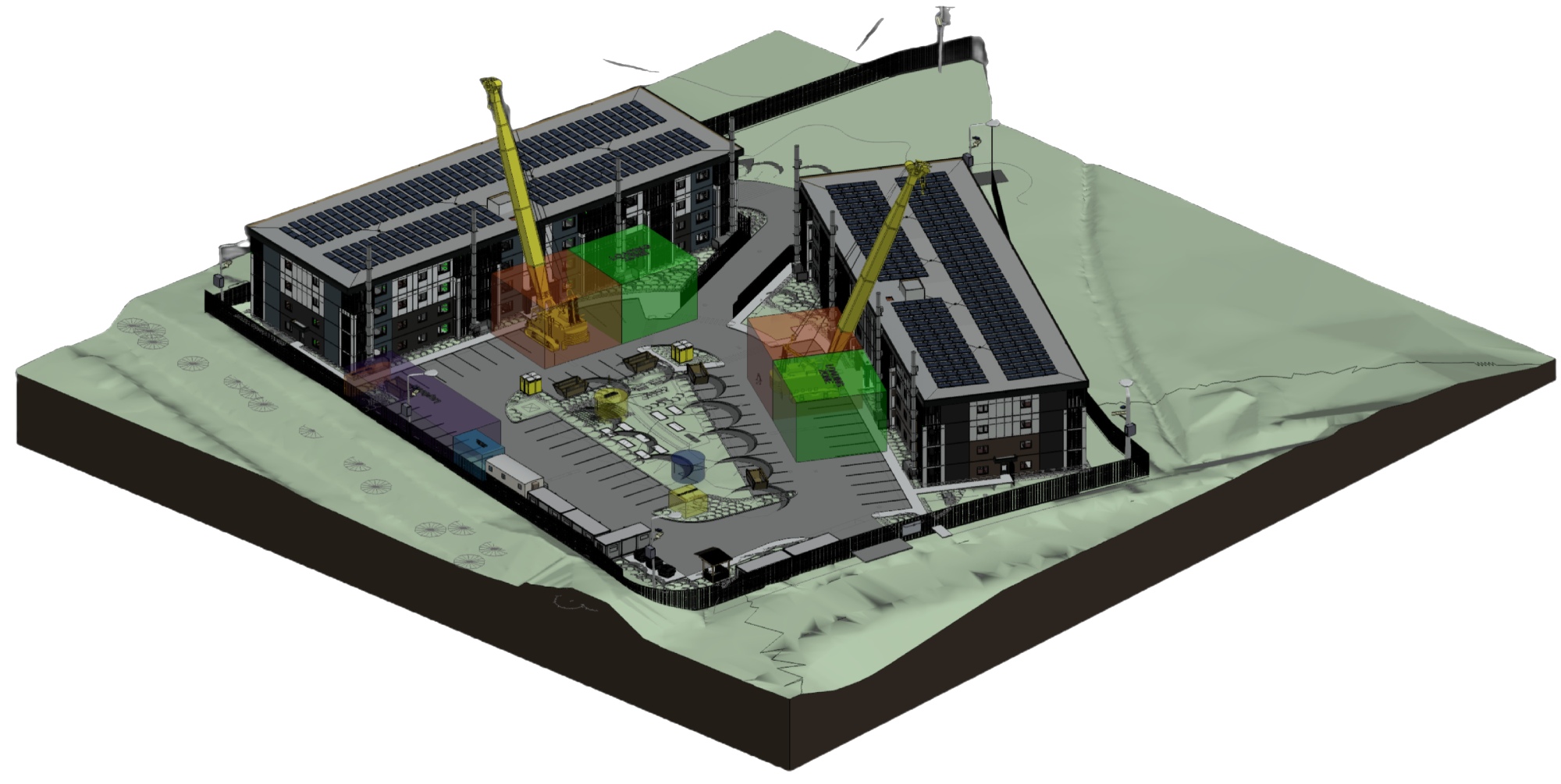
3D LOGISTICS STRATEGY

Visualizing site logistics before construction begins.

Visualizing site logistics

Developing 3D site logistics plans for complex, multi-building projects to visualize access routes, material laydown areas, crane zones, temporary facilities, equipment, and site circulation.
Use visual logistics planning to identify congestion, access conflicts, material flow constraints, and operational risks before they impact the field.


INTEGRATED LOGISTICS DATA

We combine project data with spatial context to support material flow planning, equipment allocation, site circulation, and resource optimization.
1 SITE ACCESS & TRAFFIC FLOW
directional markers and controls
2 MATERIAL LAYDOWN AREAS
controlled footprint
3 CRANE & EQUIPMENT ZONES
footprint for safety and coverage
4 TEMPORARY FACILITIES
support workforce and operations
5 PEDESTRIAN & SAFETY ROUTES
separation and protection

4D PRODUCTION PLAN

4D connects TIME — the construction schedule — with SPACE — 3D model — to visualize sequence, identify constraints, and communicate the production plan.

Why 4d Matters

VISUALIZATION BY LEVEL

Visualize construction activities by time, location, and sequence to understand how the project will be built before work begins.

SEE THE PLAN

Visualize construction sequence and work progression by level, zone, and phase.

CONNECT TIME + SPACE

Link the construction schedule with the 3D model to understand when and where work happens.

ANTICIPATE CHALLENGES

Identify sequencing conflicts, access constraints, trade interactions, and logistical issues before they impact the field.

OPTIMIZE PERFORMANCE

Support better production planning, coordination, and decision-making.

BUILD WITH CONFIDENCE

Give project teams a clear visual understanding of the plan before construction begins.

PLAN SMARTER.

BUILD BETTER.

DELIVER WITH CONFIDENCE.